Eminlin edited a comment on issue #11913:
URL: https://github.com/apache/echarts/issues/11913#issuecomment-939474761
遇到相同问题啦 不知道解决了没有 v5.2.1 对应海拔高度的说明:https://echarts.apache.org/zh/option-gl.html#series-lines3D.data 对应的说明: ``` 三维飞线图的数据数组,通常数据的每一项可以是一个包含起点和终点的坐标集。在 polyline 设置为 true 时支持多于两个的坐标。 如下: data: [ [ [120, 66, 1], // 起点的经纬度和海拔坐标 [122, 67, 2] // 终点的经纬度和海拔坐标 ] ] ``` 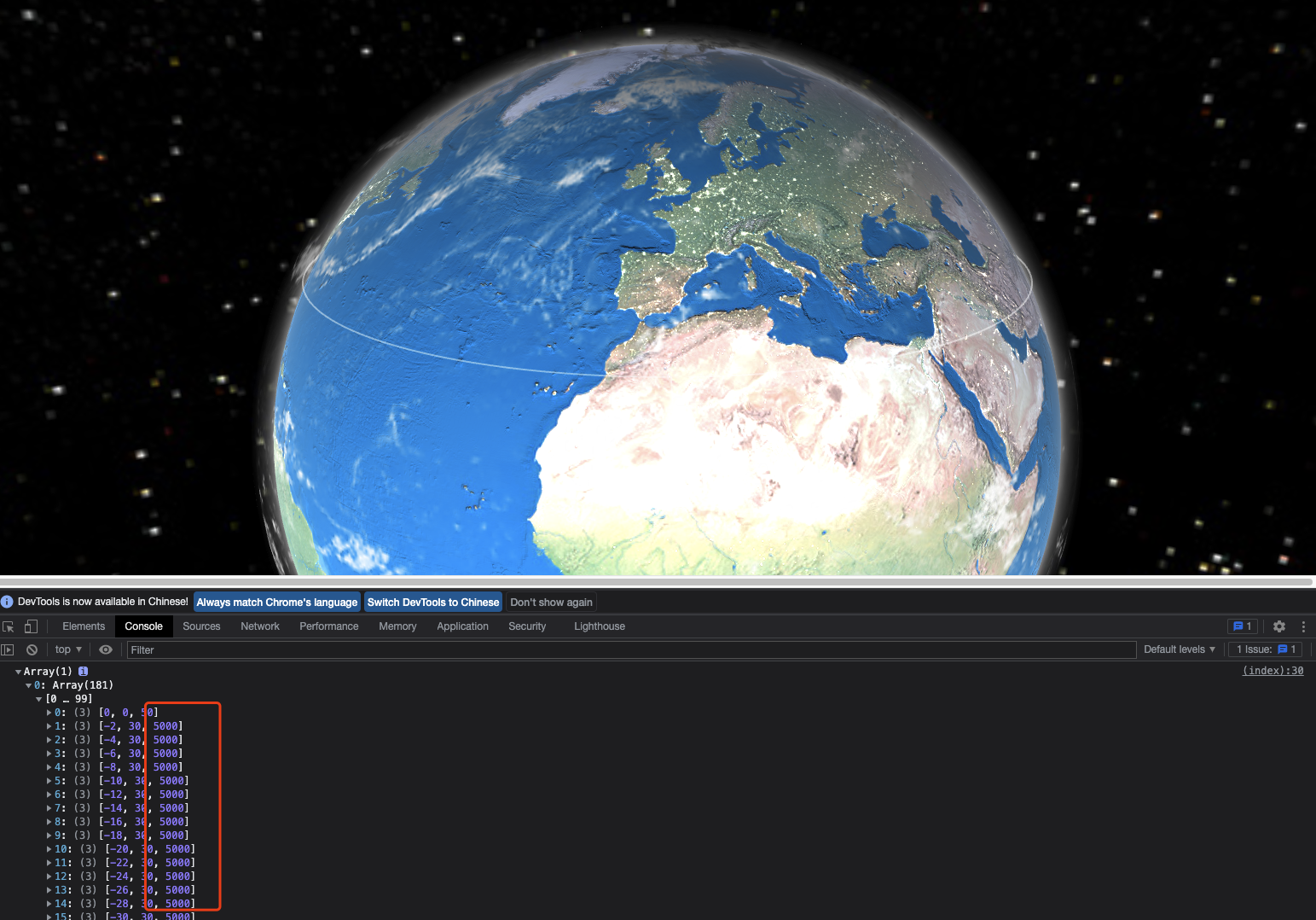 如上图所示,调整数组的第三个参数,白线的高度没有发生变化 -- This is an automated message from the Apache Git Service. To respond to the message, please log on to GitHub and use the URL above to go to the specific comment. To unsubscribe, e-mail: commits-unsubscr...@echarts.apache.org For queries about this service, please contact Infrastructure at: us...@infra.apache.org --------------------------------------------------------------------- To unsubscribe, e-mail: commits-unsubscr...@echarts.apache.org For additional commands, e-mail: commits-h...@echarts.apache.org