sunxia628 opened a new issue #16668:
URL: https://github.com/apache/echarts/issues/16668
### What problem does this feature solve? 类似[https://www.int.com/geotoolkit-demos/deviated-schematics/]图例的偏差示意图,使用哪种图例? 我的原型图如下: 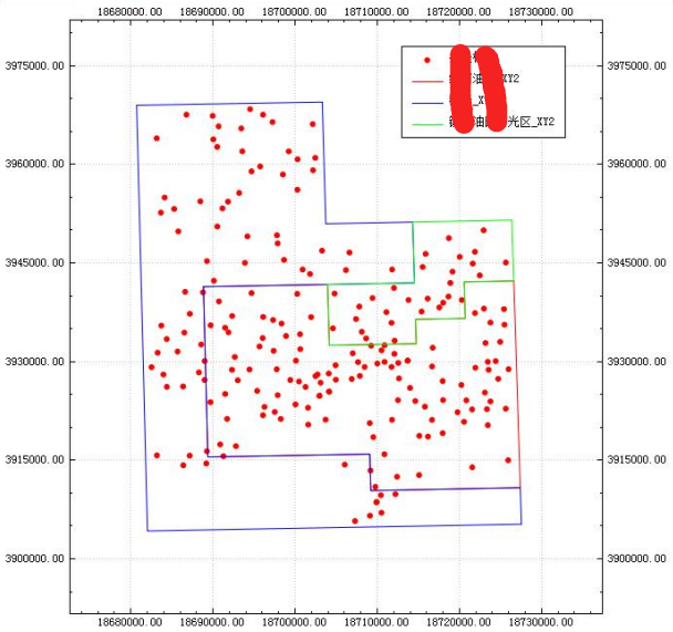  在echarts的示例中似乎找不到合适的解决方案 ### What does the proposed API look like? 请问知道对于石油行业的点位图和地理剖面图,现有的echarts图例哪个比较适合? 如果没有合适的图例,后续有没有此类开发计划,谢谢! -- This is an automated message from the Apache Git Service. To respond to the message, please log on to GitHub and use the URL above to go to the specific comment. To unsubscribe, e-mail: [email protected] For queries about this service, please contact Infrastructure at: [email protected] --------------------------------------------------------------------- To unsubscribe, e-mail: [email protected] For additional commands, e-mail: [email protected]