>I'd like to add a little story to this thread.

>Before I started my/our "Landcover-DB"-project (which is already a few
years old) we were having an ongoing dispute about wether the
underlying land cover data or some "tweaking the data"-techniques in
the TerraGear toolchain had been responsible for certain "unexpected
effects" in FlightGear's Scenery.
>Finally, to resolve this issue, I stuffed all our land cover data into
a PostGIS database, put a MapServer as a frontend so everyone could
have a look at what's been the actual input to our Scenery processing
(I suspect that hardly anyone did, but that's a different topic  ;-)
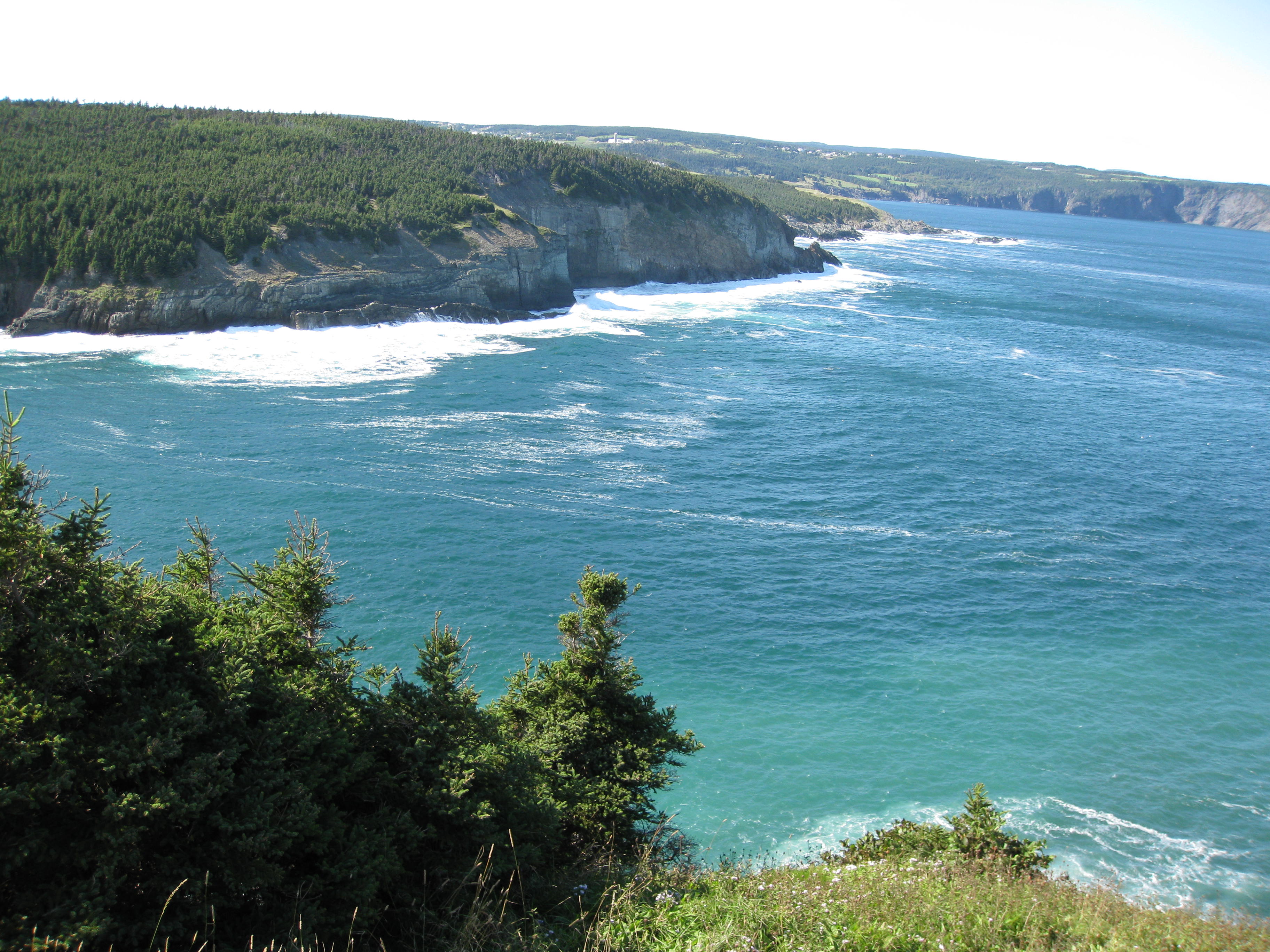
>To put it in different words: What you are planning to do might serve
as s short-term solution, but in the long run I think you're going to
end up in a new flavour of maintenance hell if you're adding techniques
to TerraGear to change the land cover type in the processing stage.
Better change the land cover type accordingly: For areas which don't
have any trees, simply don't use a type that has trees, otherwise you
will, sooner or later, get "unexpected effects" in your Scenery.

>Cheers,
   > Martin.

Hmmm... that is a very valid point.

The issue is that even with very high definition shapefiles, the only
categories of undeveloped land that exist in my area are default, vegetation,
and wetland. So it's no problem where there's forest. The issue is to
differentiate between barrens, scrub land, and bare rock. In Newfoundland, much
of the coast is this brown rock.
http://pointsevensnowball.files.wordpress.com/2008/09/halifax-038.jpg (I know
it says halifax, but that's just from the context of the site the photo is
from) In many places, what I've got shows up as vegetation right to the ocean.
Even in the spots where it doesn't, if I texture it appropriately, then all the
barrens, or anywhere that's not trees shows up as brown rock. It's just an
unfortunate fact of the data I've got. I haven't been able to find anything
that differentiates better.

Maybe there are tools I could use to examine the DEM, and shade in any area of
a certain steepness, then use that to generate a new shapefile for bare rock?
That's probably insanely wishful thinking. I guess I'll have to keep thinking
about it.
-cullam


      __________________________________________________________________
Yahoo! Canada Toolbar: Search from anywhere on the web, and bookmark your
favourite sites. Download it now
http://ca.toolbar.yahoo.com.

------------------------------------------------------------------------------
Let Crystal Reports handle the reporting - Free Crystal Reports 2008 30-Day
trial. Simplify your report design, integration and deployment - and focus on
what you do best, core application coding. Discover what's new with
Crystal Reports now.  http://p.sf.net/sfu/bobj-july
_______________________________________________
Flightgear-devel mailing list
[email protected]
https://lists.sourceforge.net/lists/listinfo/flightgear-devel