Yep, GRASS can do it that way, I suggest you look at GMT
(http://gmt.soest.hawaii.edu) for quality map production & cartography...
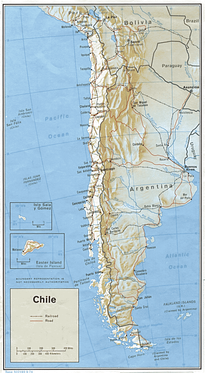
OGR now supports GMT vector  (multiline) output, so it is easy to convert data
to GMT format for plotting.

Cheers

   Brent Wood

Brent Wood
DBA/GIS consultant
NIWA, Wellington
New Zealand
>>> Wouter <wouter.buyta...@scarlet.be> 12/17/08 7:23 AM >>>

Answer to my own question:

- have your data in UTM
- make a grid in a latlong location with v.mkgrid
- reproject the grid to your UTM location with v.proj
- visualise the grid over your data of interest
- add labels with the latlong coordinates

cheers
wouter


On Tue, 16 Dec 2008, Wouter wrote:

> Date: Tue, 16 Dec 2008 14:46:47 -0300 (CLST)
> From: Wouter <wouter.buyta...@scarlet.be>
> To: grass-user@lists.osgeo.org
> Subject: visualising high latitude regions
>
>
> Hi all,
>
> is there a way in GRASS to draw latlong projection data with a non-straight
> coordinate grid? Something like this:
> <http://www.lib.utexas.edu/maps/americas/chile.gif>
>
> Particularly for high latitudes such as Patagonia, a straight grid gives a
> lot of distortion.
>
> Any suggestions to do this in other software are welcome. I even don't know
> if ArcGIS does this.
>
> thanks
> wouter
>
_______________________________________________
grass-user mailing list
grass-user@lists.osgeo.org
http://lists.osgeo.org/mailman/listinfo/grass-user

NIWA is the trading name of the National Institute of Water & Atmospheric
Research Ltd.
_______________________________________________
grass-user mailing list
grass-user@lists.osgeo.org
http://lists.osgeo.org/mailman/listinfo/grass-user