As a temporary feature, it could probably tagged as a farmland by now, no?
Le 1 novembre 2014 05:36:31 CET, Ray Kiddy <r...@ganymede.org> a écrit :
>On Fri, 31 Oct 2014 17:05:28 +0100
>Mathias Lück <mathias.lu...@googlemail.com> wrote:
>
>> Hi,
>>
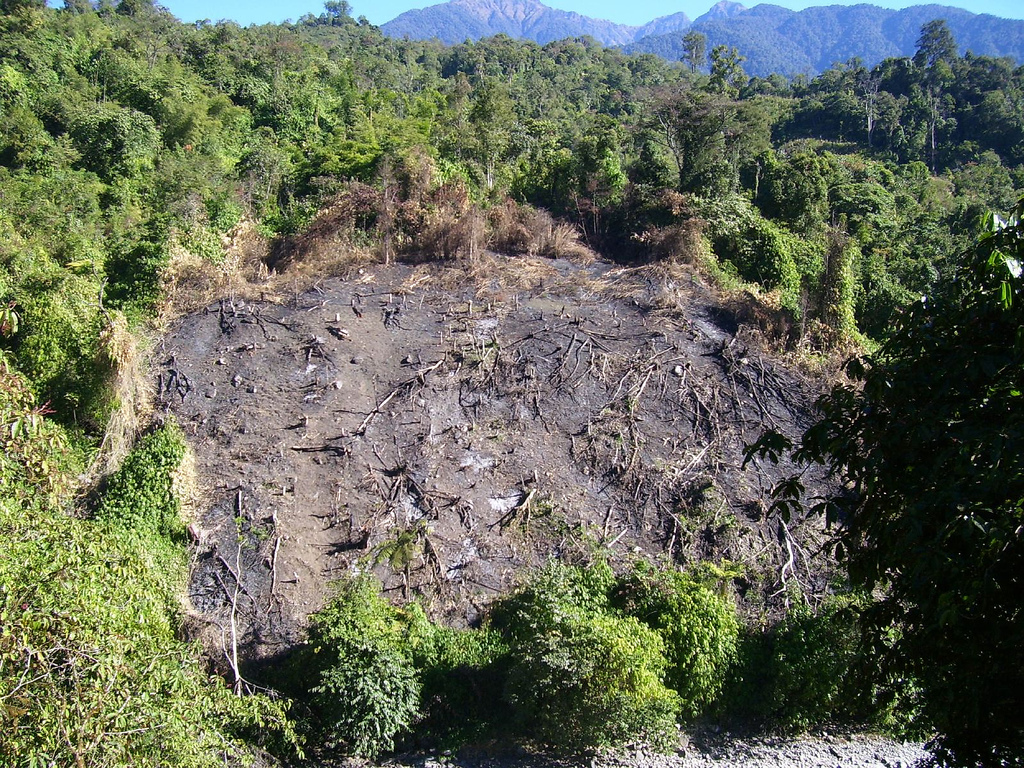
>> I'm currently working on task 672/sierra leone/ebola.
>>
>> Significant parts of the forest in the area I'm mapping seem to be
>> cleared wit fire ("Slash-and-burn"). Wikipedia shows a good picture:
>>
>> http://upload.wikimedia.org/wikipedia/commons/4/4f/Jhum.jpg
>>
>> See sattelite images here:
>>
>> 9,11525 -12,69831
>> http://binged.it/1wNZfe6
>>
>>
>> Should these areas be marked in a special way?
>>
>> Regards, Matt
>
>You should probably check with some non-HOT resources on this question.
>There are probably groups with an explicit forest management focus. I
>get responses on my user diary. You could ask the question there.
>
>The data geek in me says that there has got to be people interested in
>this data. If you mark it, it may not get used. If you do not mark it,
>the opportunity for it to be used is gone.
>
>Looking at the map features page on the wiki, there is:
>
> man_made = clearcut
>
>Pretty close. There could be an analogous feature, yes?
>
> man_made = slash_and_burn
>
>Seems reasonable to me.
>
>- ray
>
>_______________________________________________
>HOT mailing list
>HOT@openstreetmap.org
>https://lists.openstreetmap.org/listinfo/hot
--
Yves
>From my phone
_______________________________________________
HOT mailing list
HOT@openstreetmap.org
https://lists.openstreetmap.org/listinfo/hot