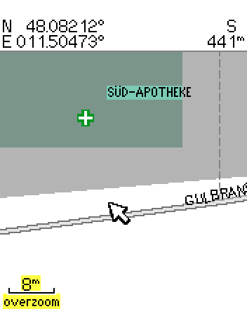
Daniela Duerbeck wrote:
> selfcomment.
>> I think that the distance between icon and corresponding text is a bit
>> too large, see http://www.deltadelta.de/nmz/sc18.png
>> Can I decrease it?
>>
> I think I have to explain more precisely, my english seems not to be
> good enough.
>
> When I use new, selfdrawn icons via Typ file, the name that belongs to
> the POI marked by the icon is farer away from the icon than it would
> have been from an original Garmin icon. I used the online typ file
> editor (http://ati.land.cz/)
>  From the right upper corner, the label has a distance of 3 Pixels
> (diagonal) when a Garmin icon is shown, but 10 pixels, if my own icons
> are used.
>
> If a user defined waypoint is labelled, the label sits right above the
> icon, centered (that is the best way, I think).
>
> Does anybody know, if this behaviour is somehow coded inside the typ
> file? Or does mkgmap define the position and distance of the label?
>
> I think on small displays 10 pixels is way too much, so it would be
> really fine to be able to change that. Perhaps it is a not yet
> understood byte inside the typ file?
>
> TIA, Dani
>
> _______________________________________________
Dani,
Did you ever solve this?  Does using larger icons help?

Charlie
_______________________________________________
mkgmap-dev mailing list
[email protected]
http://www.mkgmap.org.uk/mailman/listinfo/mkgmap-dev