Of course no ordinary car is going to use those tracks. Keep in main the
track definition:
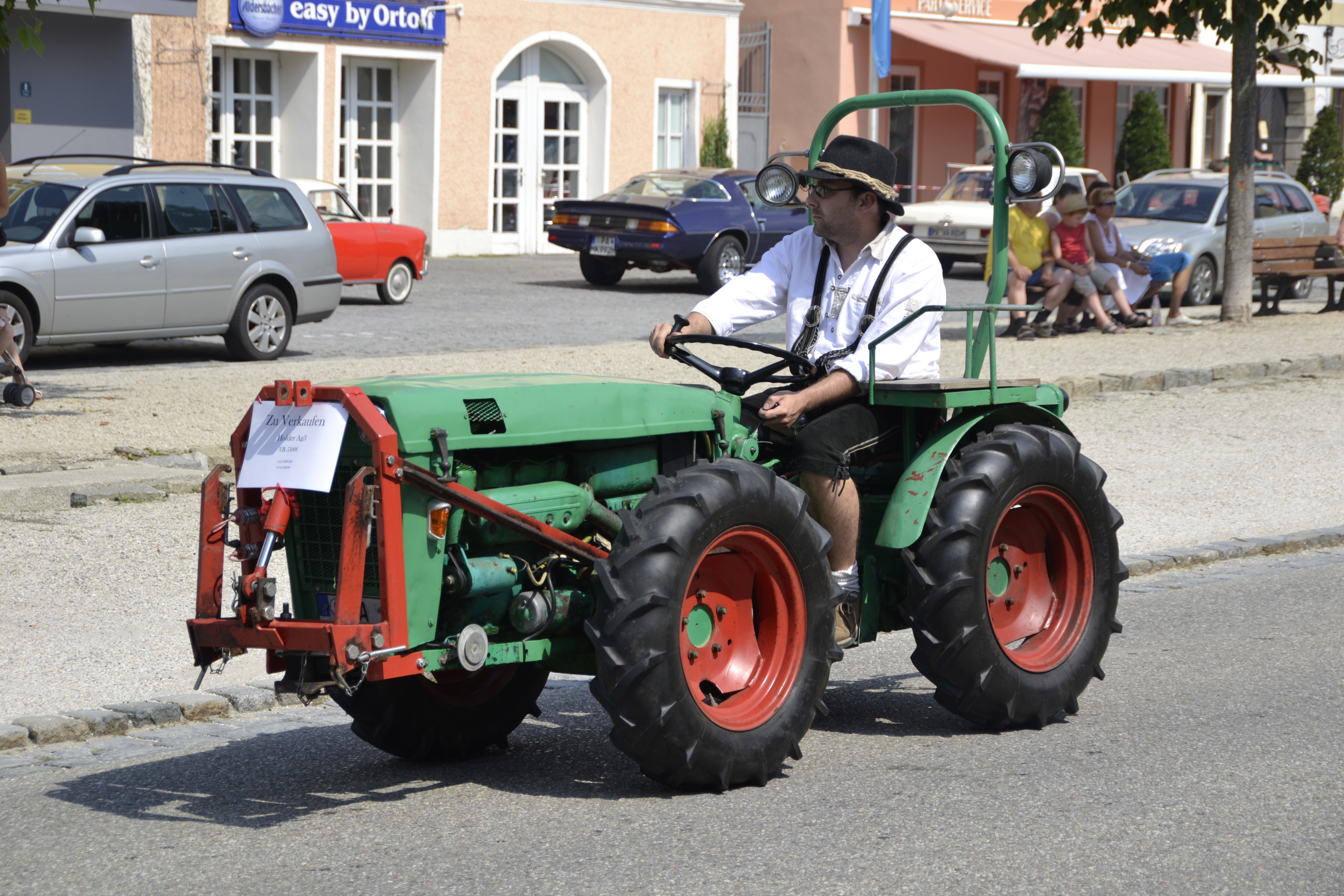
"Roads for agricultural use, forest tracks etc."

Cars are not agricultural vehicles and they should not be used as a
reference when we are talking about tracks. By agricultural vehicles, the
main and almost exclusive vehicle that use those tracks I show pictures of,
I mean:

http://upload.wikimedia.org/wikipedia/commons/a/a8/Roteco_Supertriss_430_walking_tractor_with_trailer.jpg
http://upload.wikimedia.org/wikipedia/commons/8/8f/Oldtimerumzug_Aidenbach_2013-08-18_-_Holder_Ag3.JPG
http://upload.wikimedia.org/wikipedia/commons/5/54/New_Holland_T7040.JPG

Most of the time tracks are short and are used by land owners to get to
their lands wich here are very small. This size is not uncommon:

http://i59.tinypic.com/28vx4yw.jpg

All properties there have a track to get to them with a tractor and no one
will consider them highway=path.

Maxspeed is meaningless. Avg speed can be less than 5 Km/h, but varies a
lot from track to track.


2014-03-21 0:34 GMT+01:00 Dave Swarthout <daveswarth...@gmail.com>:

> Vali, those are some of the nastiest tracks I've ever seen. No ordinary
> car is going to be traversing those and even most 4WD will be forced to
> drive very slowly in order to avoid the bigger, protruding rocks. As for
> tracktype, there is no "grade" type to describe them unless we extend the
> grade scheme to 6 or 7 or beyond, as many suggested, or alternatively,
> create new tags 4WD_only=yes/no, and possibly HC_4WD_only=yes/no. It's also
> obvious that surface of "rocky" needs to be dealt with somehow. Most of
> these have a "very horrible" surface. Setting aside the fact that maxspeed
> refers to _legal_ maximums, I would be tempted to add a maxspeed=5 or lower
> as well to help routers make decisions.
>
> I have incorrectly used maxspeed in the past to suggest the suitability of
> a road for travel. I have also used surface_condition, as in
> surface_condition=Rough_less_than_40kph in the past. There were many
> examples of this usage in Taginfo and I was reluctant to use tracktype to
> describe a highway when I first started mapping.
>
> What about some sort of speed tag, a new one, perhaps trackspeed or
> comfortable_speed?
>
>
>
>
>
> On Fri, Mar 21, 2014 at 5:36 AM, David Bannon <dban...@internode.on.net>wrote:
>
>>
>> Vali, great contribution to the discussion.
>>
>> The three photos sort of span the things we are talking about, confused
>> a little by the fact that they don't really suit 'cars' !
>>
>> tracktype= is really focused on [cars, suv, 4x4, trucks] but useful info
>> for bike or walkers.
>>
>> I sort of think 'smoothness=' is your best tag. Its descriptions are
>> excellent, as I have mentioned, I have issues about the word
>> "smoothness" and the assigned values. Sigh....
>>
>> Now, you can be very very evil and consider rendering when tagging. Its
>> called "tagging for renderers", punishable by death but happens all the
>> time. I have never seen a map that shows smoothness=.  Some evil people
>> consider this fact when choosing which tag to use.
>>
>> Maybe, folks, we should take more notice of the smoothness= tag ?  If
>> promoted it could be whats needed ?
>>
>> David
>>
>>
>> On Thu, 2014-03-20 at 22:26 +0100, vali wrote:
>> > Hi
>> >
>> >
>> >
>> > I tried to figure out how to tag these tracks "the right way" but
>> > after reading the wiki and this thread it seems the tracks discussed
>> > are almost like gravel roads or tracks in farmlands. Most tracks here
>> > are old (some of them centuries old), very twisty and the maintenance
>> > is almost none.
>> >
>> >
>> > I have some pics to show what I am talking about:
>> >
>> > http://oi59.tinypic.com/33fala8.jpg
>> > http://oi60.tinypic.com/1zmmrlt.jpg
>> >
>> >
>> > These should be trackytpe 2 or maybe 1. The first pic is not great,
>> > but the track is carved in the stone. The second one is just a track
>> > over a stone bed. Stones will not move under a heavy vehicle nor be
>> > eroded by rain. Surface tag should be surface=rock (wich is missing in
>> > the wiki)
>> >
>> > http://oi58.tinypic.com/t7iiht.jpg
>> > http://oi61.tinypic.com/6ozcdw.jpg
>> >
>> >
>> > These are different from the two before because the rocks are smaller
>> > and can get loose. Rock size can be from fist-size to a meter.
>> > tracktype? surface?
>> >
>> > http://oi59.tinypic.com/4htmag.jpg
>> > http://oi62.tinypic.com/11v5z13.jpg
>> >
>> >
>> > This kind of track is often found in places with long-time
>> > settlements, are centuries old and were made by bullock carts. They
>> > tend to be very narrow and twisted. The surface on some of them is
>> > smooth (not the one in the pic) and could be made from earth, rocks or
>> > a varied mixture of both but I didn't see any of them with just
>> > gravel. 4x4 can't get there: they are too wide and, most important,
>> > their turning radius is too big. The only suitable motor vehicles
>> > there are small tractors or motorbikes.
>> >
>> >
>> > Because of rural depopulation this kind of tracks are becoming paths
>> > as the borders start to decay into the track in some areas.
>> >
>> > Tracktype? surface is earth most of the time.
>> >
>> > http://oi60.tinypic.com/15zgldc.jpg
>> >
>> >
>> > This one is very typical too. The surface is compacted earth. Is hard
>> > and smooth enough to use a normal car there if we only take in account
>> > the surface. Tracktype 2 o 3 maybe?
>> >
>> >
>> > Which I try to say here is there should be a way to tag the
>> > "drivability" of the track itself to answer: which kind of vehicle can
>> > use this kind of track?. Describing the surface alone is not enough
>> > sometimes.
>> >
>> >
>> > Bear with me since I am new to OSM in general and even more in the
>> > list, but I am very insterested in this topic in particular since the
>> > things I plan to map are mostly hiking routes and a lot of the time
>> > tracks are widely used.
>> >
>> >
>> >
>> > 2014-03-20 18:44 GMT+01:00 Kytömaa Lauri <lauri.kyto...@aalto.fi>:
>> >         David Bannon wrote:
>> >         >"Should I use this road or not ?"
>> >         > tracktype= does claim to use that approach
>> >
>> >
>> >         It's a shame that we, the community, don't excel at
>> >         documenting. The part about "how well maintained"
>> >         on the Key:tracktype page was added later after
>> >         the values. There is a connection, but tracktype
>> >         wasn't meant to be about "usable or not", but about
>> >         the most influential attribute of the road construction
>> >         (or lack of, among the easily observable attributes),
>> >         of all the attributes that are involved in shaping the
>> >         conditions road users see on any ways not up to
>> >         the highway standards of the present day.
>> >
>> >         So it's a description of a scale from "hard materials only"
>> >         to "soft materials only". The connection to "maintained"
>> >         is variable and complex, but usually the grade is also a
>> >         good approximation of the maintenance, but there can
>> >         be, and there are, exceptions. One does not usually(?)
>> >         maintain a road made of soft sand only, but a track on
>> >         exposed solid rock is "hard materials only" even if nobody
>> >         ever raised a finger to "build" the way.
>> >
>> >         A user can deduce expectations from the combination
>> >         of surface=*, tracktype=*, their vehicle, season, and
>> >         local weather - and in some cases, even smoothness=*
>> >         if the rocks, roots and potholes prevent some users.
>> >
>> >         There can not be anything beyond "soft materials only",
>> >         that's quicksand. If many mappers have actively used
>> >         the tag to describe their assessment of "should i use or
>> >         not", the meaning of the tag has diverged from the
>> >         use in other regions, and we'll never know which one
>> >         was meant. (Luckily, there's seldom any major difference
>> >         - it's probably be the rare extreme cases that can be in
>> >         disagreement.)
>> >
>> >         If mappers want to tag a subjective "should i use it",
>> >         it should be some other tag if the hard/soft materials
>> >         scale doesn't suit them. But for which road user?
>> >
>> >         --
>> >         Alv
>> >         _______________________________________________
>> >         Tagging mailing list
>> >         Tagging@openstreetmap.org
>> >         https://lists.openstreetmap.org/listinfo/tagging
>> >
>> >
>> >
>> > _______________________________________________
>> > Tagging mailing list
>> > Tagging@openstreetmap.org
>> > https://lists.openstreetmap.org/listinfo/tagging
>>
>>
>>
>> _______________________________________________
>> Tagging mailing list
>> Tagging@openstreetmap.org
>> https://lists.openstreetmap.org/listinfo/tagging
>>
>
>
>
> --
> Dave Swarthout
> Homer, Alaska
> Chiang Mai, Thailand
> Travel Blog at http://dswarthout.blogspot.com
>
> _______________________________________________
> Tagging mailing list
> Tagging@openstreetmap.org
> https://lists.openstreetmap.org/listinfo/tagging
>
>
_______________________________________________
Tagging mailing list
Tagging@openstreetmap.org
https://lists.openstreetmap.org/listinfo/tagging