On Monday 12 March 2018, Dave F wrote:
>
> > and it would not distinguish between the outer boundaries (towards
> > the high seas)
> > and the boundaries between two countries.
>
> Unsure what you mean. Could you elaborate, Example?
>
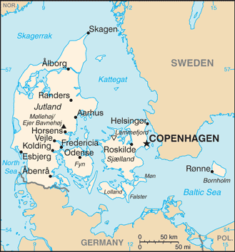
Sure:

https://www.openstreetmap.org/way/96104334

is an outer maritime boundary at 12 mile distance from the baseline
separating the territorial waters from the high seas.

OTOH

https://www.openstreetmap.org/way/54749533

is a maritime boundary between two countries.

You might say this difference is not of practical importance for data
users but there are for example many maps which generally do not show
the first type of boundary but which do show (at least partly) the
second type of boundary.  Like this:

http://legacy.lib.utexas.edu/maps/cia16/denmark_sm_2016.gif

You can of course determine this difference from the spatial
relationship of the boundary relations.

--
Christoph Hormann
http://www.imagico.de/

_______________________________________________
Tagging mailing list
Tagging@openstreetmap.org
https://lists.openstreetmap.org/listinfo/tagging