... INRE: http://bit.ly/2IGkgoj
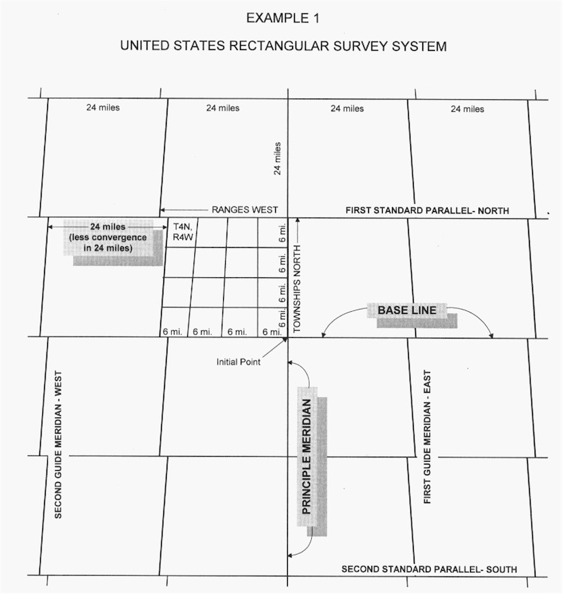
> Nobody proposed ban on mapping things far away from your place of
residence.

> That's an amazing image, thanks Michael.

Hmmm ... it's not a really a bona fide 'map',
per se,it's really just a silly snarky sarcastic
cartoon based on narrow assumptions and
a highly suspect data model - inspired by
my personal knee jerk reaction to other
community members perfectly justifiable
philosophies of what OSM 'is'.

> I take it that's the home location of all OSM contributors?

Ummm ... No, I stated a hypothetical 'What
if' scenario: " If everyone on Earth joined OSM ...",
so the 'locations' are based on the entire
global population derived from:*"*Center for
International Earth Science Information Network
- CIESIN - Columbia University. 2016. Gridded
Population of the World, Version 4 (GPWv4):
Population Density. Palisades, NY: NASA
Socioeconomic Data and Applications Center
(SEDAC). http://dx.doi.org/10.7927/H4NP22DQ
that I use frequently.

I also do time space / mapping, so for the second
'constraint', '...and limited their mapping to their
own local knowledge', from my knowledge of
Torsten Hägerstrand's ( et. al. ) framework of
time / space trajectories of individual humans
in the environment, I made S.W.A.G. to get a
'home range' of our set of global mappers.
( https://www.spektrum.de/lexika/images/geogr/fff59_w.jpg ).
I then made a mad leap to a conclusion that this
'range' was approximately the same as the grid
size. ( maybe not so mad, there is a vast literature
around this: http://meipokwan.org/Gallery/STPaths.htm
... and some folks have even extended the model into
'virtual spaces' like WoW ).

I then sampled some area like the middle of the
Sahara, Siberia, Yukon Territory to get a lower
bound ( nobody lives here ) and did a blunt
overly simplified binary classification, and used
this as a mask to punch out the OSM world map.

The projection used is psychological, not
geographical ( https://en.wikipedia.org/wiki/Psychological_projection ).

> ... also a bit surprised that Australia & NZ have
dropped back into the Ocean - I thought there
were a few more of us than that? ..

See http://worldpopulationreview.com/countries/countries-by-density/
Australia is 225 ( out of 230 ) and NZ is 198.
It's actually even more dramatic than this,
the Australian Census even has a special
distinction for remote areas. It's also an
artifact of the population dataset in
relation to the resolution of the final
graphic. If you are feeling left out, I
can adjust that single pixel value.

> (cc'ed to AU list for interest's sake :-))

Please tell them this wasn't serious, I
don't want to get kicked out of the union.

> Nice and funny illustration of OSM problems
with global and remote natural areas. How did
you create it?

Thank you, and see above. A little used
GIS tool called InkScape ( perfectly
good for doing raster analysis, most
'art' tools ( like 'burning', etc. ) are
equivalent to some GIS raster math.

> Nobody proposed ban on mapping
> things far away from your place of residence.

Embedded in Hägerstrand( et. al. ) is that
notion of what is 'near' and 'far' for an
individual and their experiences. I can
look out an airplane window and make
a pretty good guess what state I'm over
by the road network ( http://www.legallandconverter.com/images/RSS1.jpg ),
but while my neighbor gets lost walking
to the store - but he can tell you every
landmark in his online games. We're all
different.

> That would probably only add to this picture
some spots (remote settlements and touristic
attractions) and thin lines (along routes).And
probably only spots, if single day would be the limit.

You hit the nail on the head. Humans have
just so much attentional bandwidth.

> OSM started as a very local enterprise, but
the world is much wider, so we should rethink
how to deal with them, because the world is
not gonna shrink...

https://www.newscientist.com/article/dn27875-earths-shrinking-crust-could-leave-us-living-on-a-water-world/
... but you do have a point, there. :-)

Michael Patrick
Geographer
_______________________________________________
Tagging mailing list
Tagging@openstreetmap.org
https://lists.openstreetmap.org/listinfo/tagging