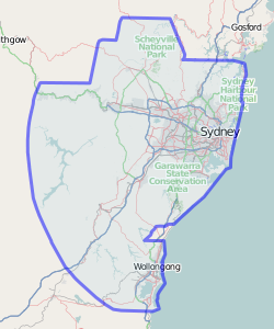
Updated imagery of southern Sydney, including more of the Royal
National park and towns along the coast line towards Wollongong, the
whole area except for a small pocket now has coverage.
http://wiki.openstreetmap.org/w/images/5/5c/Sydney_NearMap_April_15_2010.png

_______________________________________________
Talk-au mailing list
Talk-au@openstreetmap.org
http://lists.openstreetmap.org/listinfo/talk-au