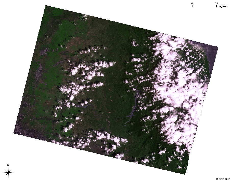
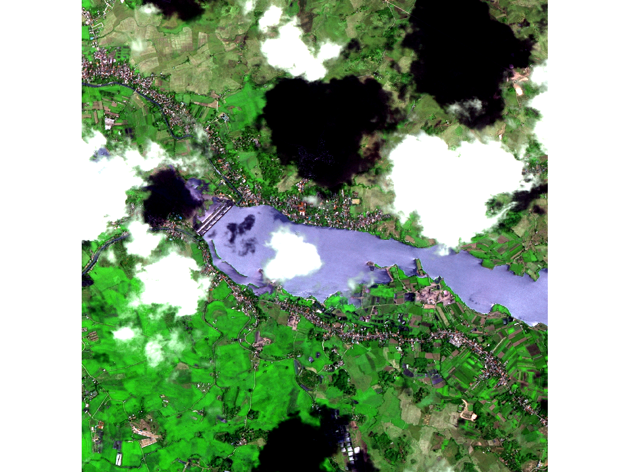
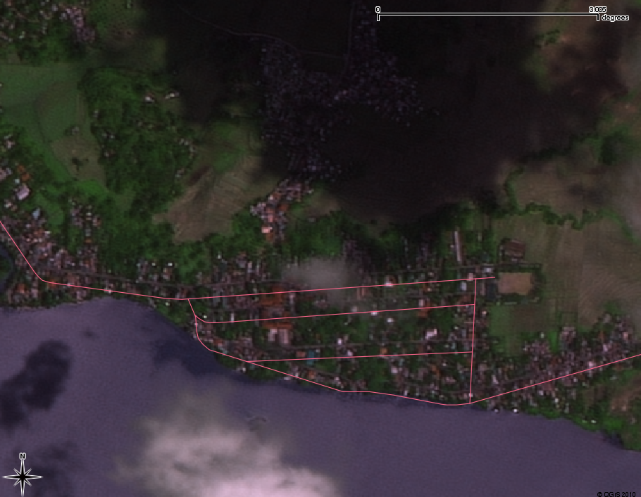
Hi,

As promised, we have a possible new imagery to add in Eastern Bulacan Area.
Approximate image resolution is 10 meters.  Not as good as what is in
Pangasinan, but better than LANDSAT and this is more recent
(20080312).
The sample image is here:
http://farm5.static.flickr.com/4052/4253859520_0ffd4613e5_o.png

Some issues:
1.  The image is a a bit dark.  So I manipulated image (histogram
stretch in remote sensing parlance) to look better.
http://farm5.static.flickr.com/4013/4253860134_116b380aa8_o.png

2. The default georectification is shifted, (sat image with OSM road overlay)
http://farm5.static.flickr.com/4033/4253859690_fe364081c5_o.png

Ergo, we need to collect accurate GPS point (ground control point
aging in RS parlance) to correct them.  Anyone willing to give me a
hitch around Bulacan area to collect GPS points (I can't bike that
far)?

3.  The eastern most portion is almost covered by clouds so we may
have to crop the image to conserve space.

4.  The image is veeery big (3 GB)! I am having problems with RAM and
disk space.  This may take a while for me to process.

@ rally, the Towerville site is visible in the map.  You may use them
as mapping reference.

Any help is appreciated.

--
cheers,
maning
------------------------------------------------------
"Freedom is still the most radical idea of all" -N.Branden
wiki: http://esambale.wikispaces.com/
blog: http://epsg4253.wordpress.com/
------------------------------------------------------

_______________________________________________
talk-ph mailing list
[email protected]
http://lists.openstreetmap.org/listinfo/talk-ph