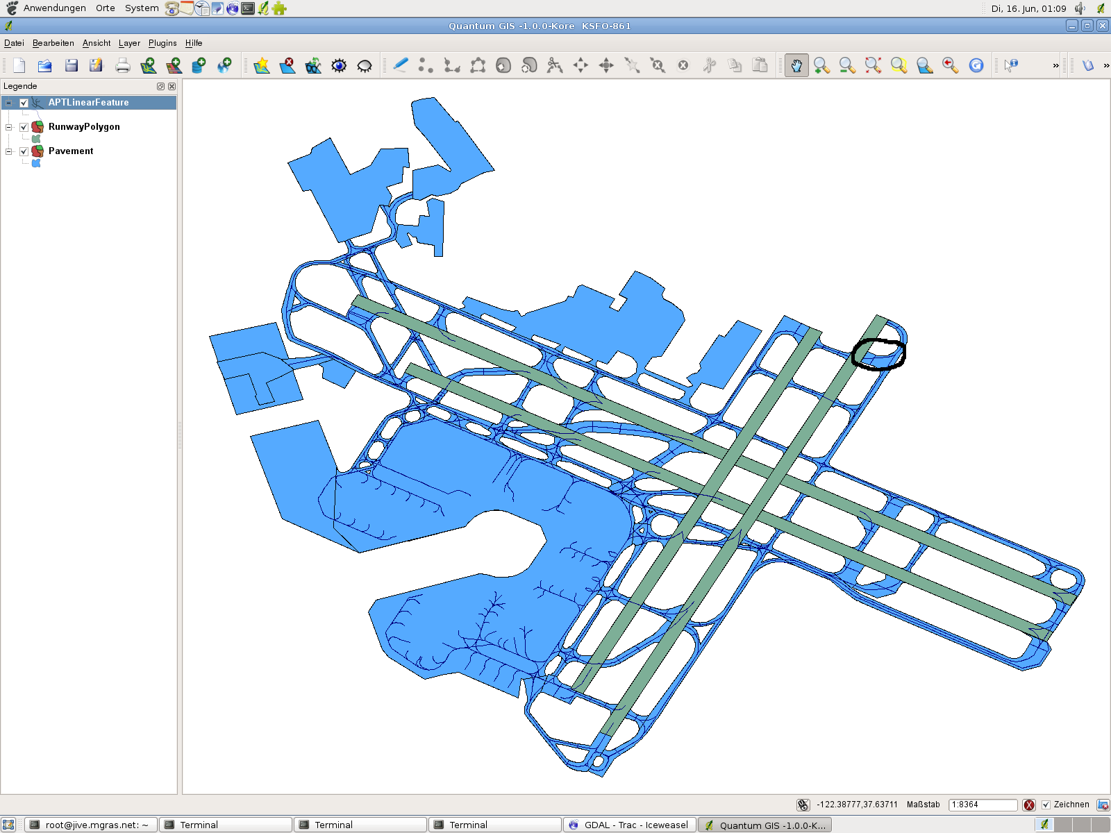
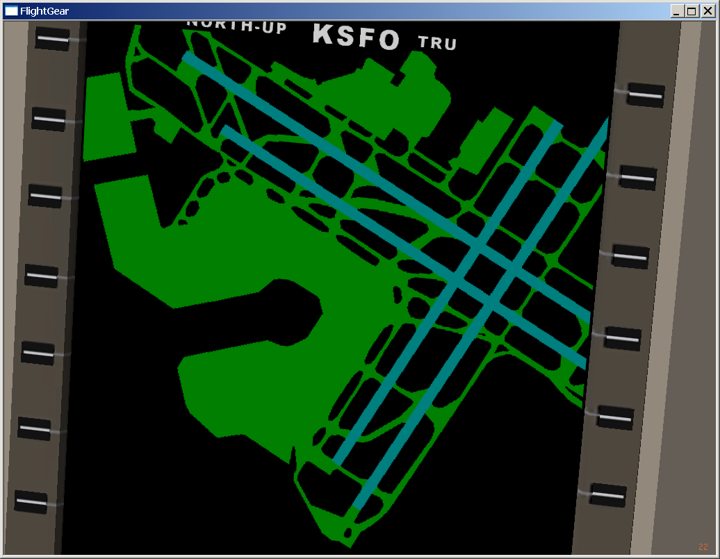
Frederic Bouvier a écrit :
> Martin Spott a écrit :
>
>> If you load shapefiles into QGIS, it would, for example, look like this
>> shot:
>>
>>   http://foxtrot.mgras.net/bitmap/FGFS/KSFO-861.png
>>
>> Not that, as shown here, not all v8.50 airfields match the quality
>> measures we would expect - just take the northern part of taxiways L
>> (east of 19L) as an example. This doesn't mean that we should not go
>> for v8.50, I'm just trying to point out that we should consider
>> selecting carefully.
>>
>>
>
> Are you sure you have the latest data, or you are not suffering a
> numerical precision problem ? Compare your screenshot with what is
> displayed in the ground radar :
> http://frbouvi.free.fr/flightsim/KSFO-850.png
>
Looking twice at your screenshot, it looks like most of the Bezier nodes
have been treated like normal straight nodes, and that the curves are
shunted.

-Fred

--
Frédéric Bouvier
http://my.fotolia.com/frfoto/   Photo gallery
http://fgsd.sourceforge.net/    FlightGear Scenery Designer


------------------------------------------------------------------------------
Crystal Reports - New Free Runtime and 30 Day Trial
Check out the new simplified licensing option that enables unlimited
royalty-free distribution of the report engine for externally facing
server and web deployment.
http://p.sf.net/sfu/businessobjects
_______________________________________________
Flightgear-devel mailing list
[email protected]
https://lists.sourceforge.net/lists/listinfo/flightgear-devel