Hi

I'm not sure where to post this and hope here would be enough.
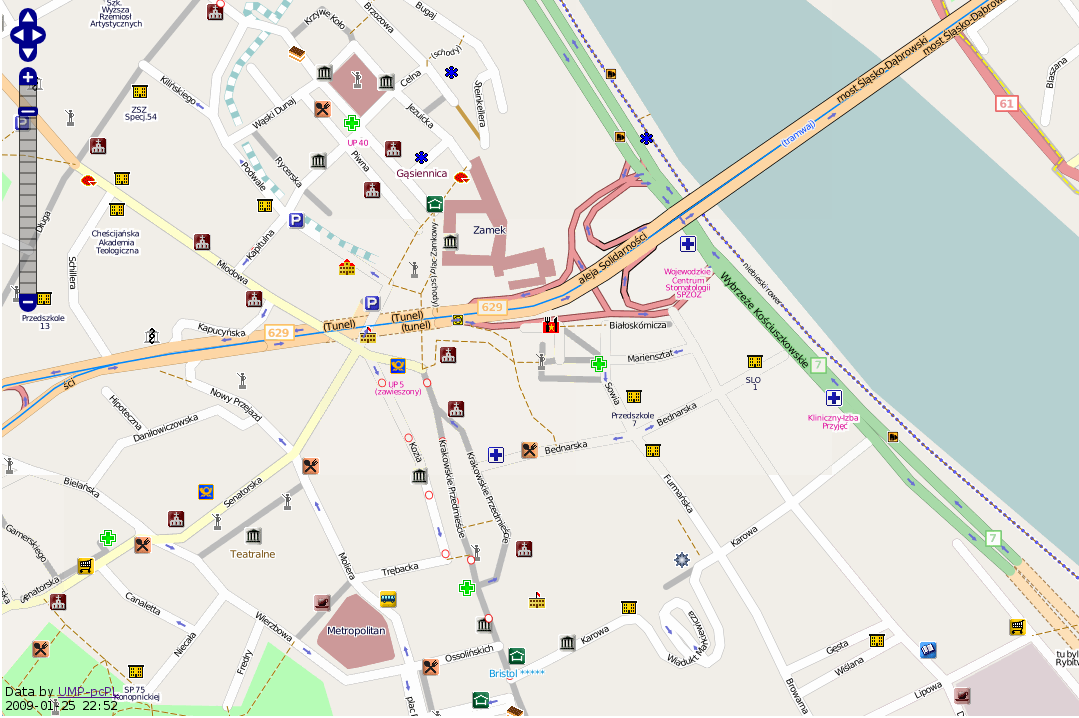
Since recently, I'm using Mapnik to render maps for UMP-pcPL which is
OSM like project for Poland, mainly for Garmin with biggest priority on
usable routing in this devices (many restrictions):

http://mapa.ump.waw.pl/ump-www/
http://ump.waw.pl/

In short, I convert polish-format *.mp maps to OSM compatible xml format
and render with mapnik and customized styles.

I encountered few bugs, that I fixed and decided to share:

- TextSymbolizer option allow_overlap was ignored. This was needed to
view all available details in closest zoom:
http://mapa.ump.waw.pl/ump-www/?zoom=18&lat=52.54352&lon=19.68832&layers=B00000T
Fix is only for POI placement.

- png256 format had a bug, that reduced random octcubes in process of
reducing colors and in effect produced very bad palette in some more
crowded places:
http://mapa.ump.waw.pl/ump-www/png256_bug.png
notice lack of fillings in middle tile, where white color was merged
with background gray. After fix, it is fine:
http://mapa.ump.waw.pl/ump-www/?zoom=16&lat=52.24661&lon=21.01091&layers=B00000T
Strange, it didn't appear yet in OSM maps.
This was a bug in implementation: children_[i]->count is !=0 only on
leafs parents, so higher levels(with lower index) of reducible_[] were
practically not sorted.

In attachment there are fixes for both problems. I use mapnik-0.5.1, but
patches are prepared svn, as there were no significant changes in
affected files in the meantime.

Marcin Rudowski
_______________________________________________
Mapnik-users mailing list
[email protected]
https://lists.berlios.de/mailman/listinfo/mapnik-users