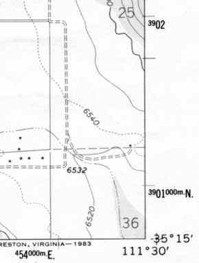
Hi All

I am wanting to output a map for printing, via WMS.
Is there are way to put a 'border' on the map like in this example
http://www.ghosttowns.com/Images/utm.jpg
With the Graticule values in the margins?
If not, does anyone have an example going it with php mapscript, that they
are happy to share??

THanks

Matt  :)
_______________________________________________
mapserver-users mailing list
mapserver-users@lists.osgeo.org
http://lists.osgeo.org/mailman/listinfo/mapserver-users