Matt,
Personally, I think if you are using WMS protocol the generation of
printed map should be responsibility of the WMS client, not the server
(this would include page layout components of border, graticule, north
arrow, key map, titles, etc).
That being said, I don't know of an Open Source desktop WMS client
that is capable of rendering a good graticule, but I haven't checked
lately (you could check Quantum GIS, gvSIG, and uDig). GeoMoose
(http://www.geomoose.org/), a web-mapping solution, does map composing
and printing using PHP and MapScript, but no graticule support.
Mapfish, another web mapping solution, has some nice printing support,
but I don't know if it does a graticule.
As for plain-old Mapserver, here's a link to an old discussion with a
couple of tricks:
http://www.mail-archive.com/mapserver-users@lists.osgeo.org/msg04550.html
Best Regards,
Brent Fraser

On 6/22/2012 8:16 PM, Matt McClelland wrote:
Hi All
I am wanting to output a map for printing, via WMS.
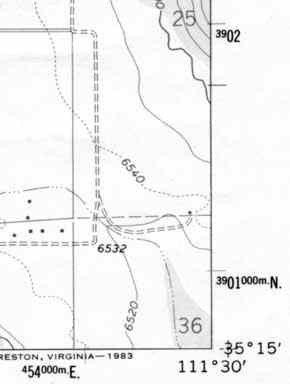
Is there are way to put a 'border' on the map like in this example
http://www.ghosttowns.com/Images/utm.jpg
With the Graticule values in the margins?
If not, does anyone have an example going it with php mapscript, that
they are happy to share??
THanks

Matt  :)


_______________________________________________
mapserver-users mailing list
mapserver-users@lists.osgeo.org
http://lists.osgeo.org/mailman/listinfo/mapserver-users
_______________________________________________
mapserver-users mailing list
mapserver-users@lists.osgeo.org
http://lists.osgeo.org/mailman/listinfo/mapserver-users