I think this appears to be the reference Richard mentioned:
http://www.iho-ohi.net/iho_pubs/standard/S-23/S23_1953.pdf
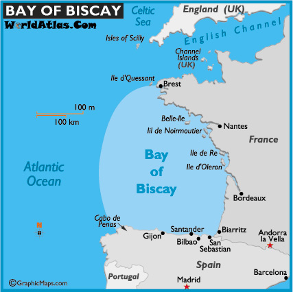
On Thu, Oct 30, 2014 at 6:51 AM, Richard Z. <ricoz....@gmail.com> wrote:

> On Thu, Oct 30, 2014 at 08:41:18AM +0100, Marc Gemis wrote:
> > Could we try an example to see whether mappers agree on bay areas ? could
> > you draw the Gulf of Biscay on a map ?
> >
> > This guy did it :
> >
> http://1.bp.blogspot.com/_-9_Y031ZiZQ/THowBMn81dI/AAAAAAAACi8/inSvDDa1DC4/s1600/Golf+van+Biskaje.jpg
> >
> > I might have extended it a bit further to the west on the Spanish
> coast...
>
> note that the big bodies of water such as the bay of biscay have been
> "defined"
> by the international hydropgraphic organization, wikipedia provides the
> link.
>
> Those definitions should be probably mapped, but most likely with a
> special tag
> rather than our natural=bay because their definition of gulf of mexico is
> obviously
> not compatible with our definition of bay (refering to the sentence
> fragment "in Cuba,
> through this island to the meridian of 83°W" which includes a landmas to
> the
> definition)
>
> Richard
>
> _______________________________________________
> Tagging mailing list
> Tagging@openstreetmap.org
> https://lists.openstreetmap.org/listinfo/tagging
>
_______________________________________________
Tagging mailing list
Tagging@openstreetmap.org
https://lists.openstreetmap.org/listinfo/tagging