In the local Dutch forum there was a discussion on how to tag what I
call busways*.
a) as highway=service
with access=no and bus=yes (or psv=yes)
e.g. http://www.openstreetmap.org/way/364983960
b) as another highway type, such as highway=unclassified in cities and
the country, or highway=motorway_link when it is e.g. a highway ramp.
e.g. http://www.openstreetmap.org/way/7391275 and
http://www.openstreetmap.org/way/24297125
There are examples of both in the Netherlands. While the majority of
busways is tagged as highway=service, there are some people who feel
very strongly against it.
While I personally prefer the highway=service, the description of
highway=service
<https://wiki.openstreetmap.org/wiki/Tag:highway%3Dservice> doesn't fit
it really well: "Generally for access to a building, service station,
beach, campsite, industrial estate, business park, etc. This is also
commonly used for access to parking, driveways, and alleys."
However, unclassified (the only other possible highway tag if it's not a
_link) "doesn't feel right" to me.
Looking at taginfo, the undocumented service=bus has 4462 uses, and is
in use globally:
https://taginfo.openstreetmap.org/tags/?key=service&value=bus.
service=busway adds another 1400-ish.
I propose expanding the highway=service to roads that are for one very
specific, non-general-public use, and the addition of service=bus for
roads that are dedicated to buses, with an implied access=no and bus=yes
tag.
Any ideas? Suggestions?

Tijmen / IIVQ
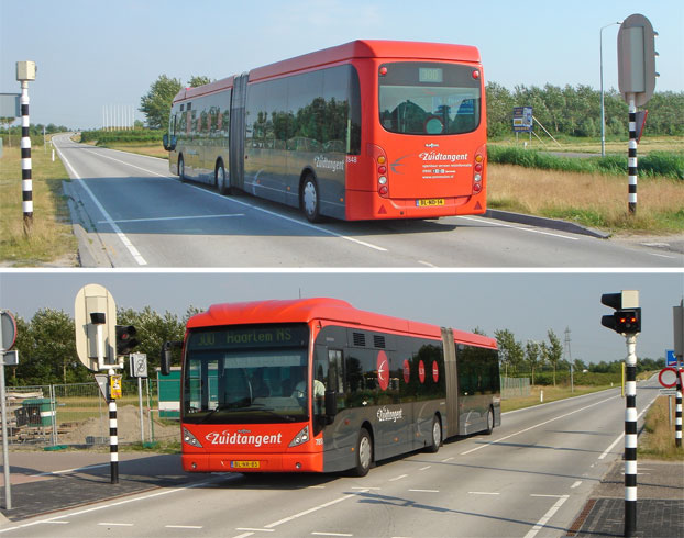
* With busways I mean separate roads that are legally (and sometimes by
use of a bollard or lift gate also practically) only accessible for
buses. This can be a short connection between two roads, but also a
mayor stand-alone road netword, e.g.
<http://www.fransmensonides.nl/foto/tangent04.jpg>. I am _not_ talking
about bus lanes nor about guided busways.
_______________________________________________
Tagging mailing list
Tagging@openstreetmap.org
https://lists.openstreetmap.org/listinfo/tagging