On Tue, Jan 10, 2017 at 01:46:42PM +0100, Martin Koppenhoefer wrote:
> 2017-01-09 13:15 GMT+01:00 ael <law_ence....@ntlworld.com>:
>
> > This thread has reminded me that I have encountered problems with
> > mapping disused quarries and surface mining.
> >
> > The quarries that I have in mind are major geographical features - they
> > have not been filled in. I tried tagging them as landuse=quarry and
> > disused=yes. If landuse really does mean current use of an area, that
> > looks contradictory. Often such old quarries are now in use for
> > recreation, often the water filled part for watersports. So perhaps that
> > is "land"use=recreation or landuse=quarry;recreation? It seem clear that
> > there is a problem here. A (large) quarry is perhaps geographical rather
> > than landuse?
> >
>
>
> +1, I completely agree with your assessment: a quarry can often be
> significant after people have stopped extracting minerals. I can be
> publicly accessible and used for recreation, which allows us to tag the
> recreational function, but we miss on the physical aspects, i.e. that it
> has been a quarry. You might tag it like disused:landuse=quarry, but the
> tag sounds a bit like an oxymoron.
> Maybe historic=quarry?
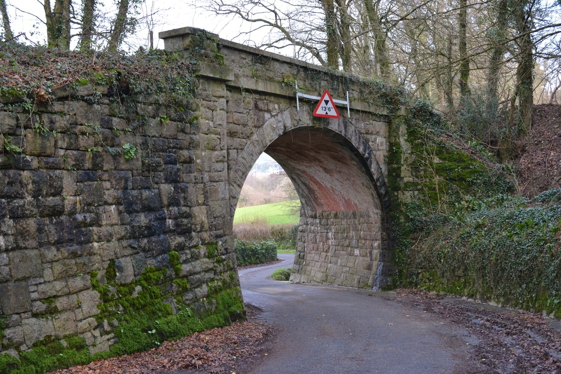
Maybe. So long as it gets rendered.

The discussion about rendering the "dangerous" quarry edges/cliffs does
impose much more burden on the mapper. I have actually walked along some
of these edges collecting gps traces, but it was not something that I
felt comfortable doing. Even when there is decent satellite imagery
available it is still a lot of extra work. Whereas, if an area is
mapped as a quarry, disused or not, it carries the implication that
there may be steep unguarded faces and other potential hazards in the
area. Of course, I am not against trying to add such detail as
appropriate, but an initial simple description of "quarry" should
carry the appropriate implications that caution is needed.

The particular quarries that I have in mind also have extremely high
"spoil" heaps/extensions. At a guess (without finding the right gps
traces), some are well over 50 metres high. These are generally composed
of large blocks of discarded granite: the individual blocks can be
several metres across. These areas are difficult to access and hazardous
to navigate for mapping purposes. At present I have mapped them roughly
as part of the outline of the "quarry". They need rendering somehow. If
a "disused" quarry is not to be rendered, then these too need a tag.
I suppose embankment might be a possibility here. I definitely agree
that that is the wrong tag for the (vertical) faces that are present
in these particular historic quarries.

I have learnt about several possibiliites in this thread, but how should
I have found out about them? I happen to skim this tagging list, but most
mappers will not: how do they find out about current practice?

> > I have the same problem with historic surface mining areas: these are
> > major features on the landscape, often with very large excavations, and
> > need
> > recording/rendering, yet now are "just" moorland or  have other uses.
> > Again, I didn't think landuse=surface_mining + historic + disused worked
> > and certainly didn't render.
> >
>
> +1, very similar case.
> As an alternative to disused:landuse=* you could use
> historic=surface_mining (but it will typically be a very huge polygon)
>
>
>
> > I am tempted to bring up the case of major bridges which are parts of
> > abandoned railways not being rendered. While that really is a bug in the
> > renderers, if we had some tag for major physical features that would
> > be rendered regardless of any historic or disused tags. it would solve
> > many such problems.
> >
>
>
> this has already been solved when bridges were introduced to OSM
> (relatively recently). For many years, OSM didn't have a way to map bridges
> and was relying on indirect mapping methods (state on a highway or railway
> that it runs on a bridge, the bridge=yes property, or connect several of
> those ways that run over a bridge with a bridge relation). Now there is
> man_made=bridge, pretty established and even rendered in the main style.
>

I thought that I had tried man_made=bridge before and it did not render.
I have just tried again, and it is still not rendering. See
https://www.openstreetmap.org/way/331737846 unless I am too impatient.
The old way of marking a tile as dirty to get the rendering updated does
not seem to work any more.
See also
http://www.cornwallrailwaysociety.org.uk/uploads/7/6/8/3/7683812/pm-006-1301-woodhill-bridge-0551r_orig.jpeg

ael


_______________________________________________
Tagging mailing list
Tagging@openstreetmap.org
https://lists.openstreetmap.org/listinfo/tagging