Then the yellow must be all the "landuse=residential" then :)

As land use can extend past the property boundary, were there is an easment.
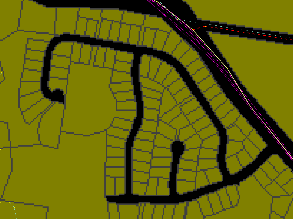
Strike 3,
im out.

Since were on the tagging list, the sidewalks & waterworks like sewer
lines, or underground cable lines, do we map these too, as the data is
also available?

Sam

On 10/13/09, John Smith <deltafoxtrot...@gmail.com> wrote:
> I made another example:
>
> http://wiki.openstreetmap.org/images/5/5d/Dcdb-example.png
>
> It's clearer in this screen shot (using JOSM, JOSM has a black
> background so the transparent pixels are black) exactly what runs down
> the middle of these voids.
>


--
Twitter: @Acrosscanada
Blog:  http://Acrosscanadatrails.blogspot.com
Facebook: http://www.facebook.com/sam.vekemans
OpenStreetMap IRC: http://irc.openstreetmap.org
@Acrosscanadatrails

_______________________________________________
Tagging mailing list
Tagging@openstreetmap.org
http://lists.openstreetmap.org/listinfo/tagging