I’d recommend using the tree row tag alone in rural areas. A tree row is
very similar to a hedge, though it is usually not a barrier. I hope we are
not going to start mapping only rye individual shrubs that make up a hedge,
or the individual trees that make up a woodland.
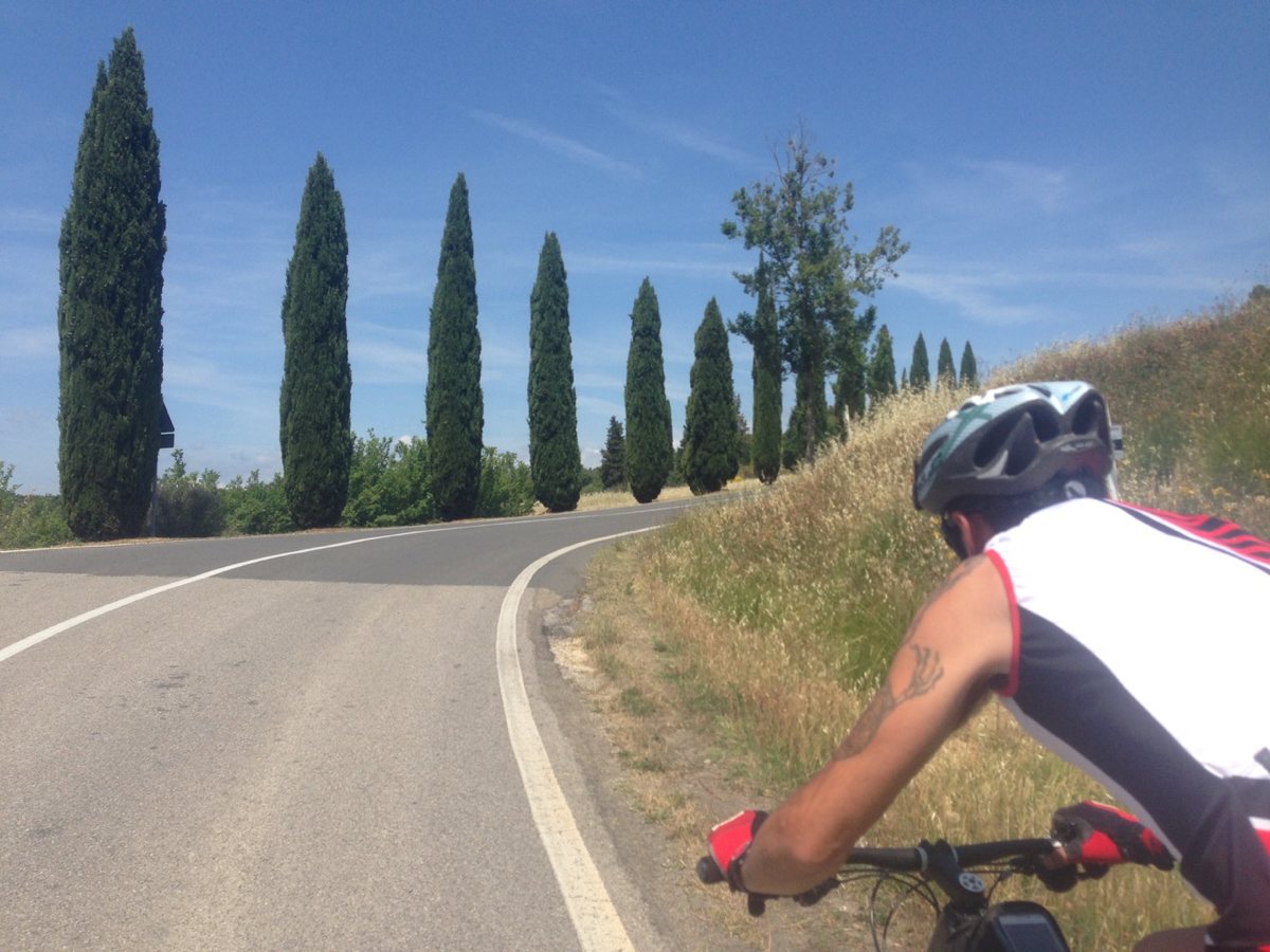
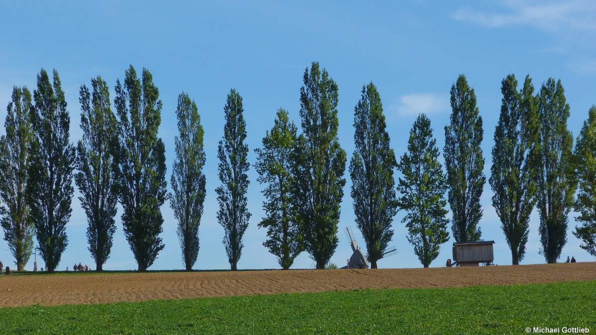
If you do add the individual trees, please include each one as a node of
the tree_row so that data users can easily tell which trees are part of the
row, but don’t delete the tree_row in rural areas.

For medium scale / zoom level maps, the tree row is something you can show
much sooner than individual trees.
On Mon, Feb 11, 2019 at 8:47 AM Martin Koppenhoefer <dieterdre...@gmail.com>
wrote:

>
>
> sent from a phone
>
> On 10. Feb 2019, at 23:10, Tom Pfeifer <t.pfei...@computer.org> wrote:
>
> As said before, I could call any two trees a "row", e.g. each pair of
> trees on the opposite sides of the road.
>
>
>
> this is up to the mapper. In architecture, a tree row is seen as a linear
> space, it structures land in a “soft” way or puts emphasis on linear
> features, especially roads and waterways.
>
> You can see it, a purposefully placed linear feature. Two trees might be a
> tree row in very exceptional cases, usually we’d expect more trees in a row.
>
> some random examples:
> https://rennradler.it/wp-content/uploads/2015/06/Toscana-2015_6.jpg
>
> http://www.landschaftsfotos.eu/1200/baumreihe-teil-bockwindmuehle-schaeferwagen-lwl-freilichtmuseum-26908.jpg
>
> https://www.gannett-cdn.com/-mm-/ebd1e48e8f6474f58c10a9c8e163075922b92c6b/c=0-153-3000-1848&r=x1683&c=3200x1680/local/-/media/2018/06/18/PalmSprings/PalmSprings/636649293079757348-expired-tribal-lease-road-1-.jpg
>
> Cheers, Martin
> _______________________________________________
> Tagging mailing list
> Tagging@openstreetmap.org
> https://lists.openstreetmap.org/listinfo/tagging
>
_______________________________________________
Tagging mailing list
Tagging@openstreetmap.org
https://lists.openstreetmap.org/listinfo/tagging