In a subdivision (like in the example given) once completed the road will
be 'given' over to the local council to meaning thereby becoming government
roads. At least in Victoria.
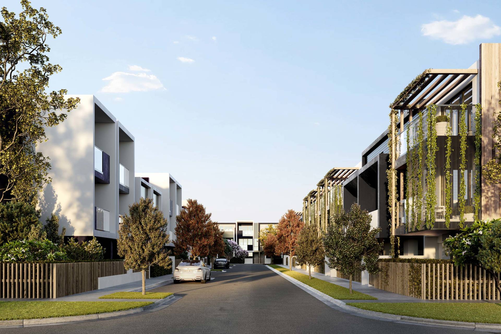
On Tue, 9 Nov 2021 at 17:31, Andrew Hughes <ahhug...@gmail.com> wrote:

> Hi All,
>
> I was wondering how I could tag ways that would indicate that they are
> belonging to "non-government" - aka these are private assets and do not
> belong to the public sector.
>
> Some examples would be ways within:
>
>    - housing estates
>    - gated communities
>    - within an 'industrial'/'commercial' facility
>
> Note: this is not related to access=private that is different.
>
> One example:
>
>    - https://www.openstreetmap.org/way/853338244
>    -
>
> https://inpg.com.au/wp-content/uploads/2018/12/82-96_HAMPSTEAD_RD_S020_EXT_STREETSCAPE_FINAL_R-web-1920x1279.jpg
>    - https://inpg.com.au/project/hampstead-park/
>
>
> Thank you,
> Andrew
>
> _______________________________________________
> Talk-au mailing list
> Talk-au@openstreetmap.org
> https://lists.openstreetmap.org/listinfo/talk-au
>
_______________________________________________
Talk-au mailing list
Talk-au@openstreetmap.org
https://lists.openstreetmap.org/listinfo/talk-au