The GPO Tower (AKA Telecom Tower AKA BT Tower) only started to appear in public
maps in 1984; despite having been completed in the 1960s and dominating the
London skyline from many angles, taking up two whole 'blocks' on the ground in
London W1 and containing a commercial restaurant.
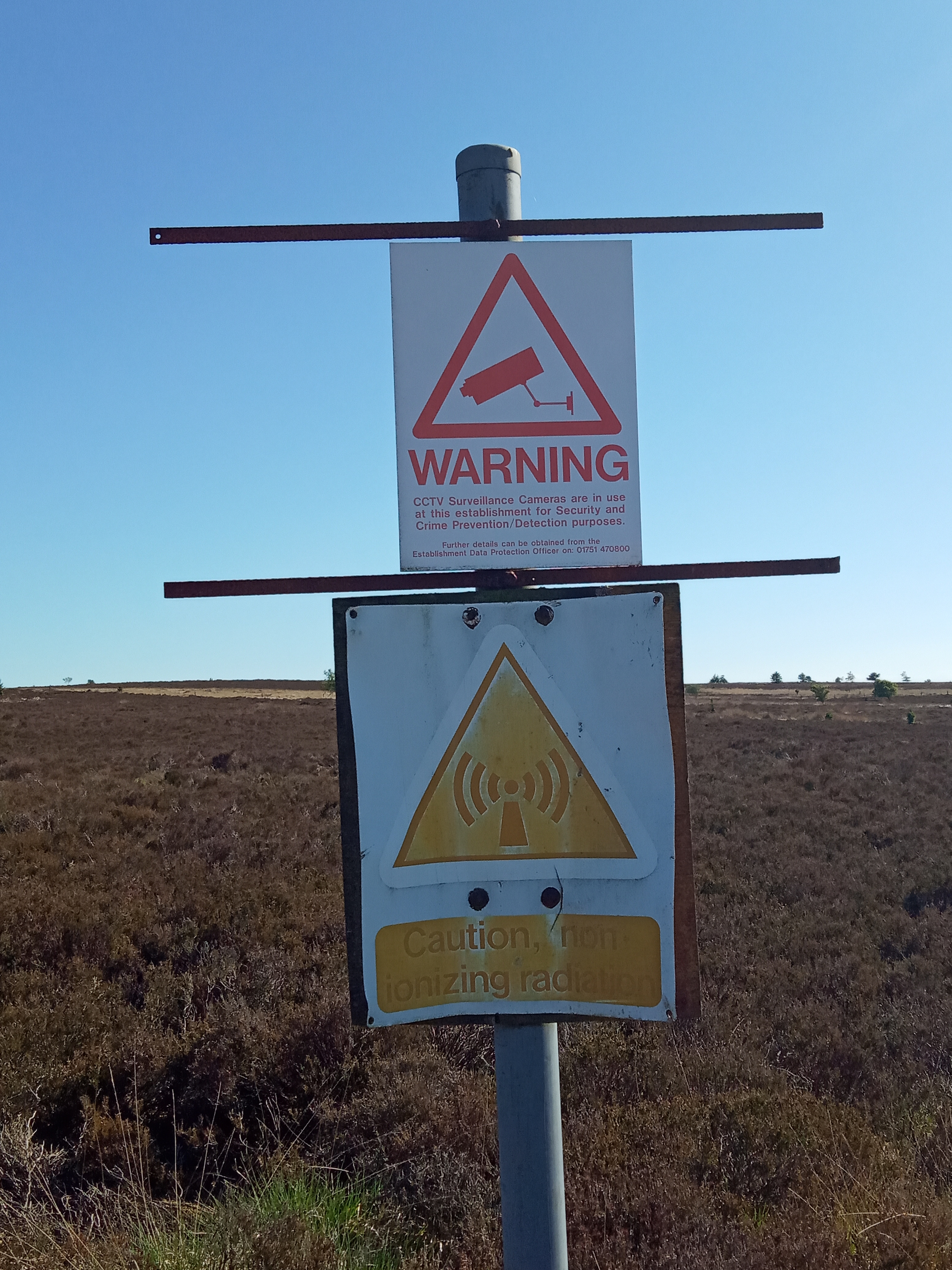
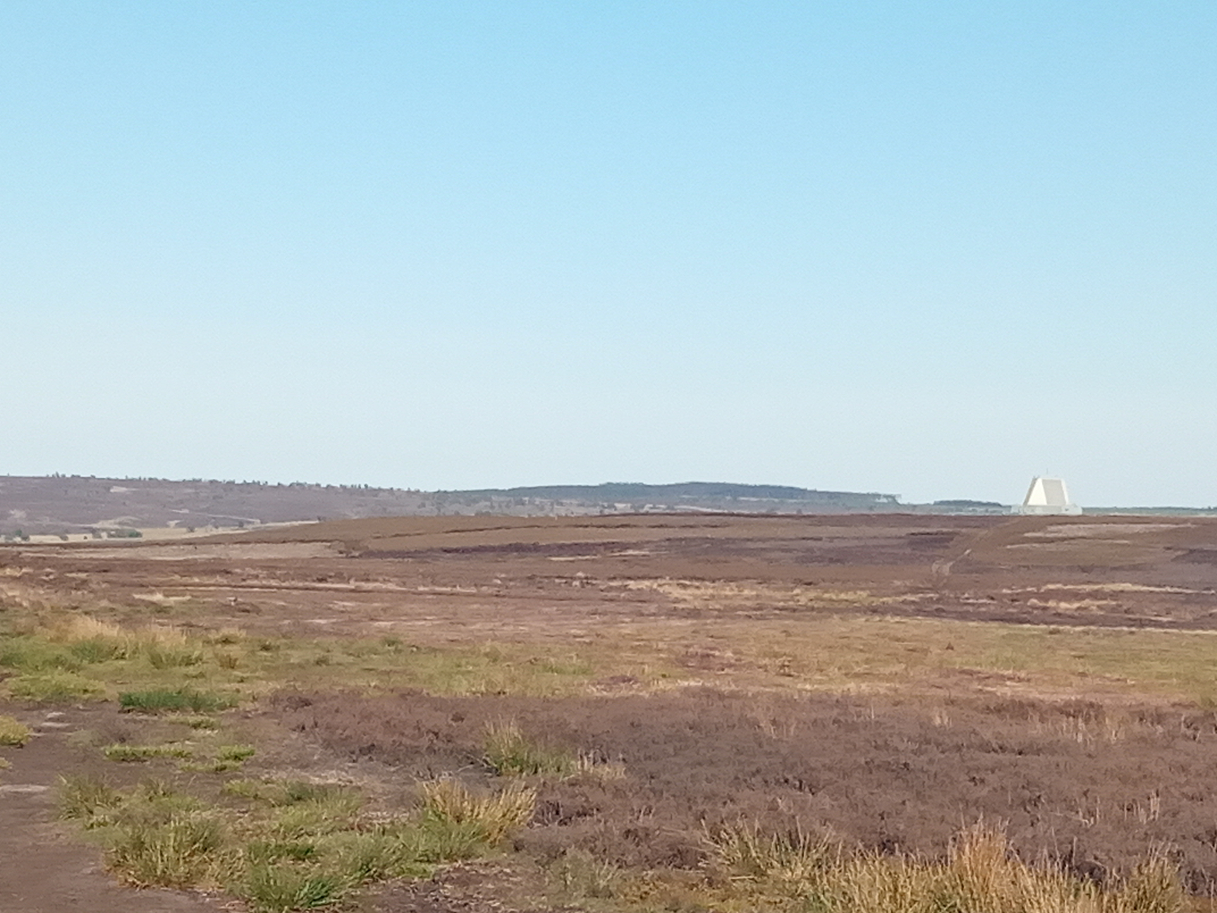
---
https://hdyc.neis-one.org/?spiregrain
spiregrain_...@ksglp.org.uk


On Sun, 28 Jun 2020, at 4:36 PM, Andy Townsend wrote:
>

> On 28/06/2020 00:47, David Woolley wrote:
>>
>> On the other hand, there used to be part of the North Yorkshire moors that
>> had "undefined" written over it on OS maps.)
>>
> Interestingly (assuming you're talking about the radar installation at RAF
> Fylingdales), at least as of my 2006 copy of OS's OL6 map, the OS was still
> lacking some of the detail - the military area is missing yet clearly
> signposted onsite, and the bridleway that runs north of the site is mostly
> signposted on the ground but mostly missing from the OS map (in OSM
> https://www.openstreetmap.org/node/7600885032 and
> https://www.openstreetmap.org/way/813719250
> <https://www.openstreetmap.org/way/813719250#map=16/54.3745/-0.6582>). There
> are still some "odd" signposts around such as
> https://map.atownsend.org.uk/tmp/fylingdales/IMG_20200531_163604.jpg , but at
> least no-one's pretending that there's "nothing there" - it's fairly obvious
> in the landscape:
> https://map.atownsend.org.uk/tmp/fylingdales/IMG_20200531_183407.jpg .

> Best Regards,

> Andy

>

>

>

> _______________________________________________
> Talk-GB mailing list
> Talk-GB@openstreetmap.org
> https://lists.openstreetmap.org/listinfo/talk-gb
>
_______________________________________________
Talk-GB mailing list
Talk-GB@openstreetmap.org
https://lists.openstreetmap.org/listinfo/talk-gb