On Sat, Oct 14, 2017 at 3:19 PM, Bradley White <theangrytom...@gmail.com>
wrote:
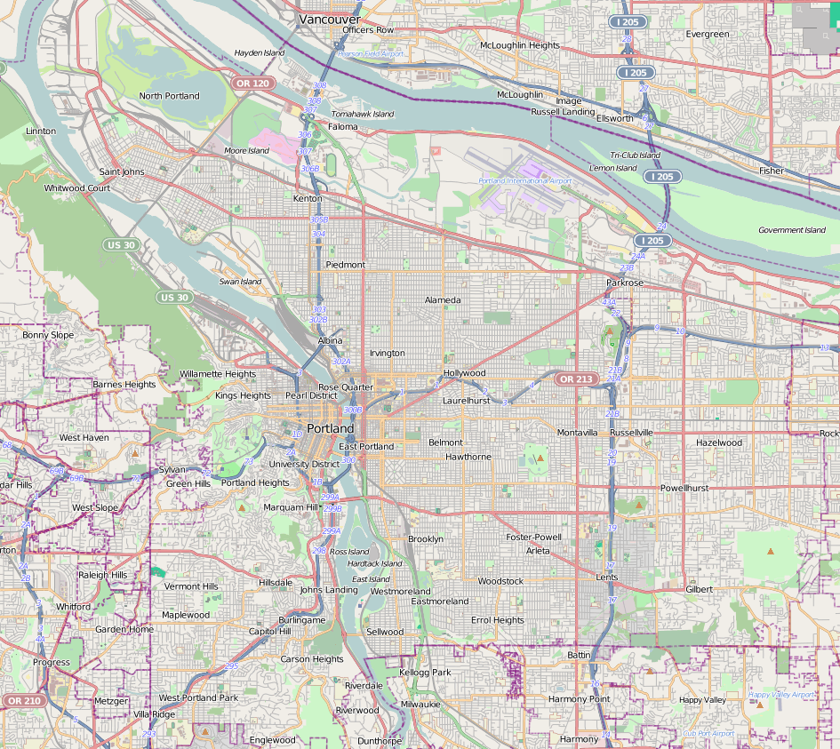
> On Sat, Oct 14, 2017 at 12:53 PM, Nathan Mills <nat...@nwacg.net> wrote:
> > Road maps in the US have long differentiated between freeway/expressway
> and
> > has had both of those clearly different than US and state highways we'd
> be
> > tagging as primary. Map users expect to see expressways shown
> differently.
>
> Could you show me an example of a US road atlas that explicitly
> demarcates expressways? I have legitimately tried to find one but have
> not been able to. Most US maps I've seen show freeways & toll roads
> explicitly, but not expressways. Some maps might use a different
> casing style to denote a divided highway, but the underlying color of
> the line still represents the importance of the road. Which is the
> point I'm trying to get at, that a highway being divided or not is
> orthogonal to its importance.
>

Just googling for it, I do find
https://upload.wikimedia.org/wikipedia/commons/b/b3/Portland_map.png which
has 99E where McLoughlin Boulevard is an expressway, and the Milwaukie
Expressway, in green.  USGS's topo maps of Portland also show the Milwaukie
Expressway as an expressway, though also shows Interstate 205 as an
expressway instead of a freeway (which I think we'd all agree would be
incorrect).  USGS also shows (albeit very outdated at this point) US 412 as
being an expressway, different from a freeway, east of where the (then
still unbuilt) Creek Turnpike now joins the Rogers Turnpike.
_______________________________________________
Talk-us mailing list
Talk-us@openstreetmap.org
https://lists.openstreetmap.org/listinfo/talk-us